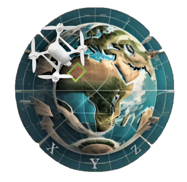

Premier Destination for UAS Mapping Solutions
Discover UAS Mapping XYZ services, your one-stop solution for all things mapping.
Fieldwork, Data Processing, Education, Consulting, Hardware, Software, Research, and eCommerce.
Experience simplicity and excellence, all in one place.

UAS Aerial Survey
We capture high-resolution aerial imagery across the USA. Our team handles the flights to deliver top-notch, processing-ready data. combine it With our processing service, to get super-resolution imagery, 3D models, contours, grids, and more. Plus, we offer add-on services like boundary searches and locating using GNSS RTK system.

Let us process your raw UAS data at a fixed rate per site. We'll handle processing your drone images and deliver precise outputs in industry-standard formats. Our deliverables include orthomosaics, DEMs, contours, hillshades, and more. You can also opt for add-on services like enhanced georeferencing or building height extraction.

UAS Education
Explore courses and learning materials tailored to equip you with in-depth knowledge and practical skills in UAS mapping. Crafted by industry professionals, our programs ensure you stay ahead in this ever-evolving field. Whether you’re a beginner or a seasoned pro, our educational offerings are built to empower your journey.
Get a custom Quote
Other Services:
Join us at UAS Mapping.xyz and unlock the potential of Geomatics and UAS Mapping. Let's explore, innovate, and transform together. Your future in UAS Mapping starts now.
We cordially invite your esteemed company to provide valuable insights and expertise as we seek your advisory input on enhancing our website.
Partner with UAS Mapping XYZ to unlock new opportunities and enhance your offerings with our advanced UAS mapping solutions. Let’s collaborate and take your projects to new heights!


We encourage you to visit our website's free resources page to access a wealth of valuable materials for your UAS Mapping learning journey.
Stay inspired as we delve into the forefront of advancements, shedding light on the innovative applications of drone technology, geospatial sciences, and mapping solutions.