Don't hesitate to reach out! Our dedicated support team is at your service. You can contact us via email at: admin@UASMapping.xyz
or give us a call at: +1 (352) 470-7718
We're here to make your mapping journey smooth sailing!

Contact us

Who We Are
UAS Mapping XYZ is a reputable business registered in the state of Florida, USA. While our online platform enables us to serve clients worldwide, our physical headquarters remains firmly situated in Florida. Our unwavering dedication to strict adherence to legal and official standards serves as a cornerstone of our commitment to you, guaranteeing the exceptional quality of our services. Moreover, we prioritize transparency and integrity, further bolstering our clients' confidence in us.
Meet our family
Here at UAS Mapping XYZ, we take pride in who we are as a dedicated team of professionals committed to delivering high-quality mapping services.
Moh Waleed
Founder & Mapping Specialist
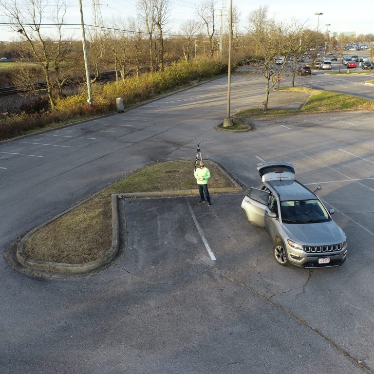
Moh has been shaping the world of Geomatics since 2006, combining deep expertise with a passion for innovation. He holds both a Bachelor's and Master’s Degree in Geomatics, a Minor in Urban Planning, and Graduate Certificates in UAS Mapping and Geospatial Analysis from the University of Florida. As an FAA-Licensed UAV Pilot since 2017, Moh specializes in integrating drone technology with land surveying, delivering cutting-edge solutions with precision and efficiency. His dedication to the field and forward-thinking approach make him a leader in modern surveying and mapping.
Sara Barbar
Marketing Specialist
Sara, our Marketing Specialist at UAS Mapping XYZ, excels in digital marketing, design, photography, and customer relations. With strong management skills and a creative approach, she effectively promotes our services while ensuring excellent client engagement. Her professionalism and great personality make her a valuable part of our team.

Lanie Sharpe
Training Specialist
Lanie, our seasoned UAS Training Specialist with a great wealth of expertise. She excel in delivering our tailored training programs, ensuring compliance with industry standards and FAA regulations. With a passion for responsible drone usage, Lanie translates complex concepts into accessible knowledge, equipping trainees for success.

Our Projects Showcase
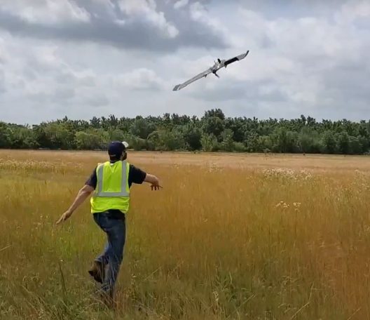
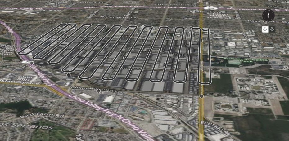
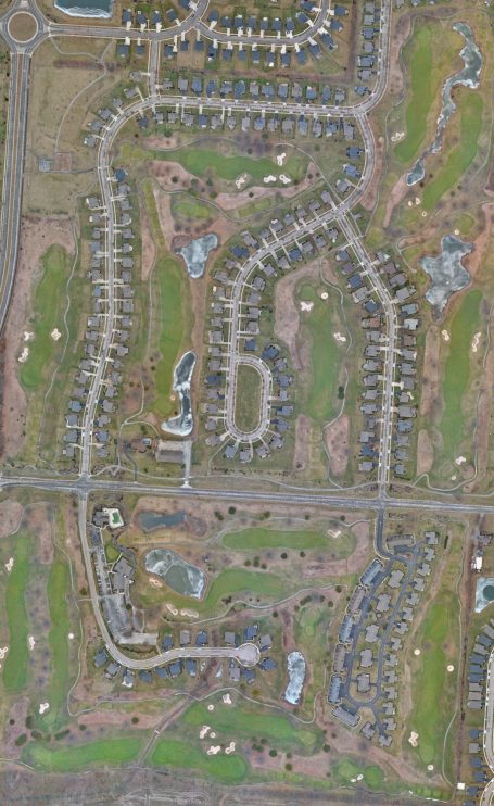
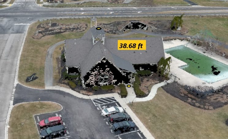
Welcome to our Project Showcase, a curated collection that proudly displays the culmination of our extensive expertise in the realm of UAV flight and geospatial analysis. With over 2000 hours of dedicated UAV flight time under our wings, we've soared above diverse landscapes, capturing data that paints a vivid picture from above.
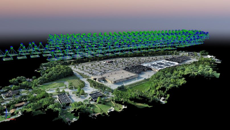
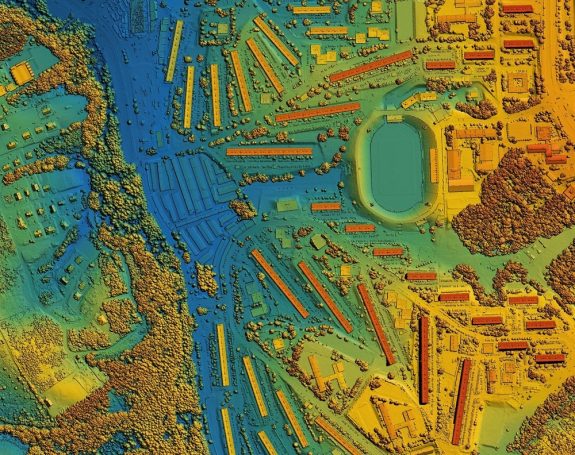
But our journey doesn't end there. We've meticulously processed data from more than 5000 unique sites, transforming raw imagery into valuable insights that inform decision-making across various industries.

Charting Our Journey: Mapping Our Experience Across the United States
Initiating a visual journey, this map presentation unveils our widespread experience across the United States. Through project markers that dot the landscape, we meticulously trace the terrain we've covered while refining our expertise. Spanning from one end of the nation to the other, each marker signifies a notable milestone, underscoring our unwavering dedication and pursuit of excellence. Join us in charting this captivating exploration as we navigate the map with pride, showcasing the breadth and depth of our experience that leaves an indelible mark across the country.
We need your consent to load the translations
We use a third-party service to translate the website content that may collect data about your activity. Please review the details in the privacy policy and accept the service to view the translations.

